Here we have listed some of Our Favorite Things to do & places to go and explore in our free time.
Westland Tai Poutini National Park, South Island 7886, New Zealand
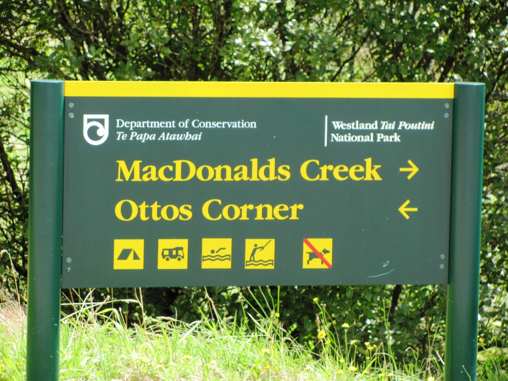
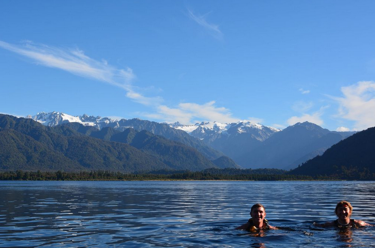
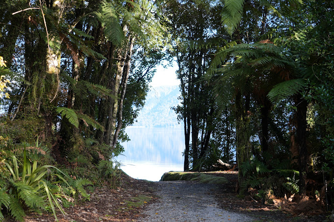
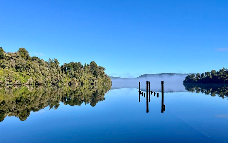
Otto’s Corner is found 12 km north of Franz Josef Village on the northern shore of Lake Mapourika. Due to the dark waters, caused by the tannins from the surrounding rainforest dyeing the water, the water gets quite warm through summer, making it an ideal spot for a swim.
Yes, there are some eels that call the lake home, but they like the cooler deeper waters.
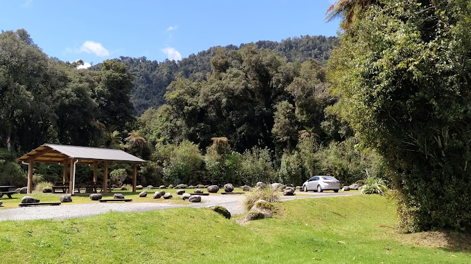
Easy access down to the lake from the DOC managed camping area. Toilets & picnic tables nearby with a sheltered boat launching ramp. This is the best spot for water skiing. A concrete boat launching ramp is at Jetty Bay (south end)
11 min (12.7 km) North of the Franz Josef village via State Hwy 6
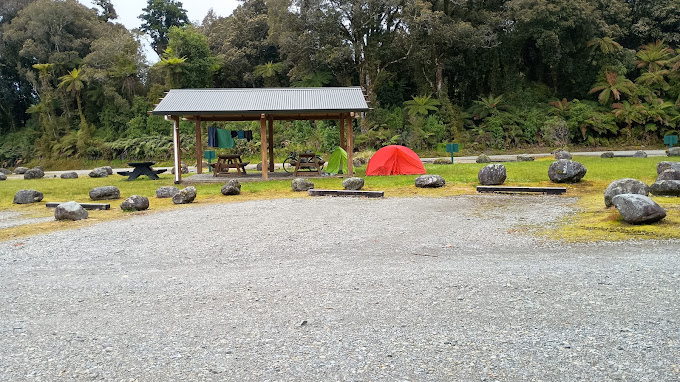
Otto / McDonalds is where you will find the Department of Conservation (DOC) camp site. They have 80 non powered sites.
Other good places to camp include the Okarito Community Camping ground and at Gillespie beach, further west, along a gravel road, past Lake Matheson.
8.6 km - 7 Minutes drive time north of the village.
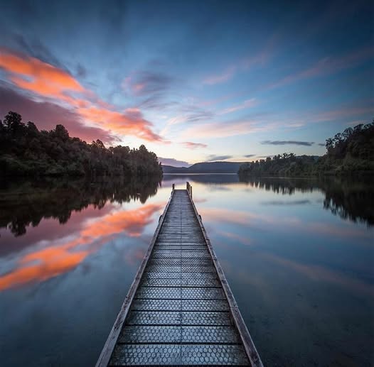
At the South (village) end of Lake Mapourika you will find Jetty Bay. An easy place to get a classic sunset photo! There is a basic toilet and picnic table. The lake’s main (concrete) boat launching ramp is located next to the wharf.
If you are planning to have a swim here, please do not dive off the end of the jetty, as it can be shallow there!
No Camping here – Go to the establisehd DOC camp site Ottos / McDonalds at the North end of the lake.
28 min (27.2 km) north of Franz. The turn off is well sign posted.
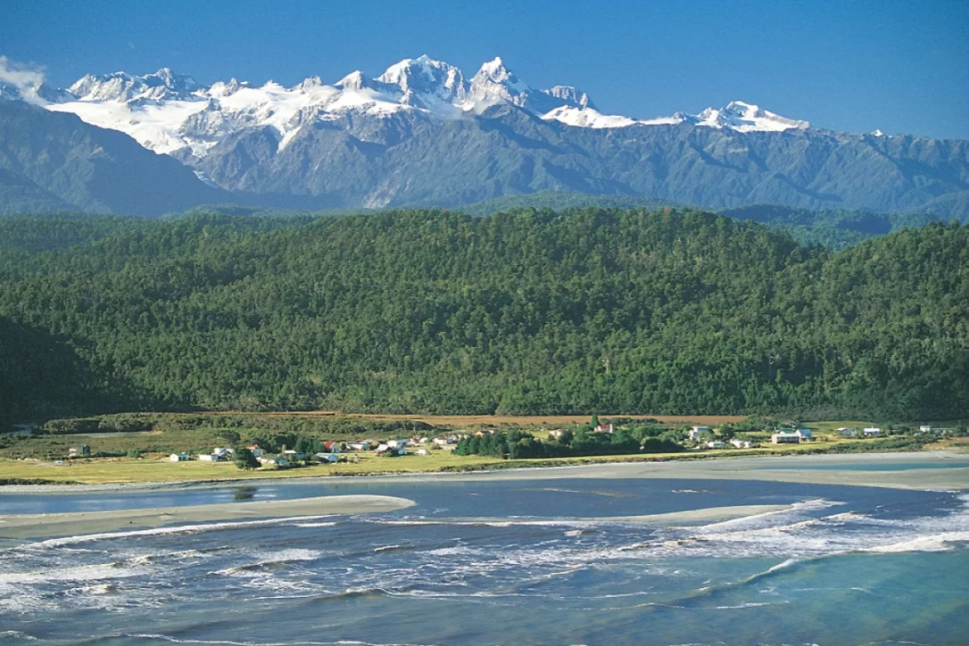
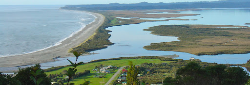
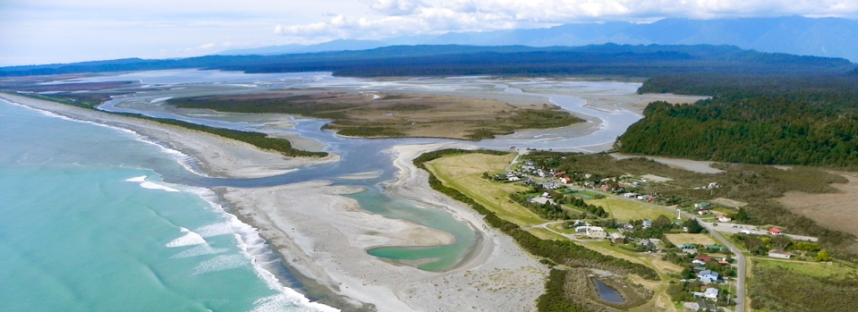
Ōkārito is a small coastal settlement located about a 30 minute drive (27km) from Franz Josef. It is bounded by sea, estuary, sea cliffs, lush forest and unsurpassed views of the Southern Alps. This small village is now home to around 40 permanent residents.
Ōkārito Lagoon is New Zealand’s largest unmodified wetland and covers 3,240 hectares.
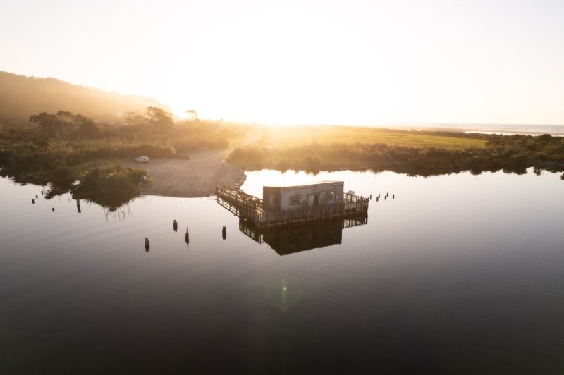
In the Okarito Wharf Shed you will find some good information on the area’s history and bird life.
In 1865 the goldmining township of Okarito sprang up on low-lying frequently flooded land at the south end of the Okarito Lagoon because the entrance channel was the nearest place suitable for shipping for the beach goldfields to the South.
The Okarito Community Association own and operates the Camping Ground.
Providing an ideal sheltered place to camp while exploring.
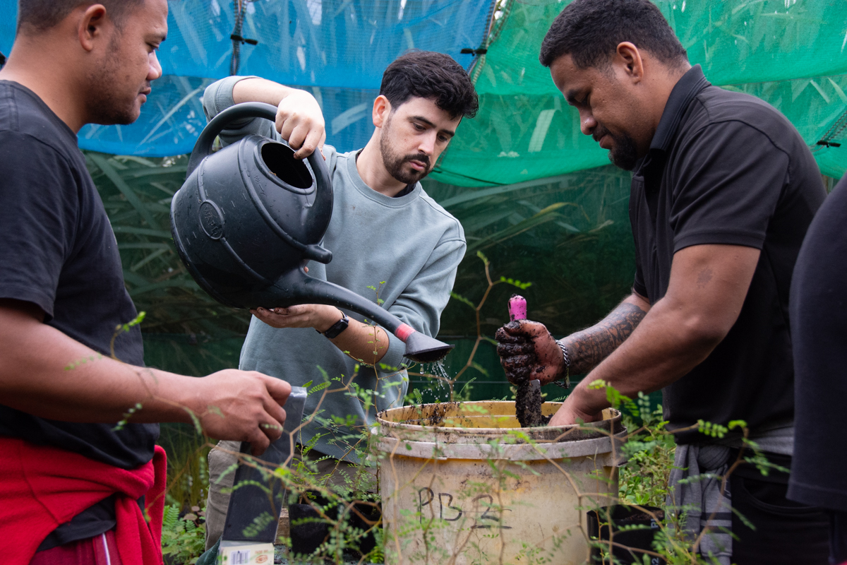
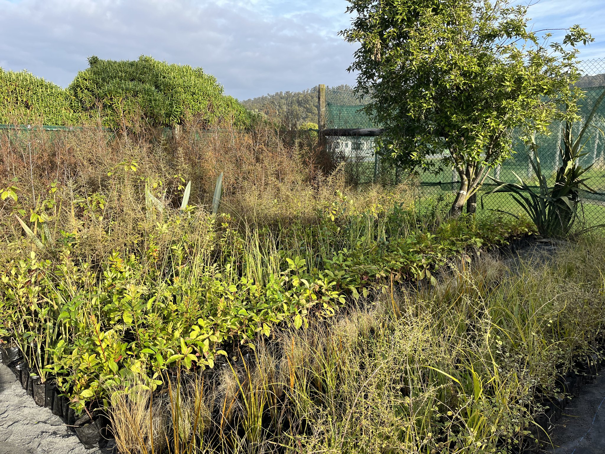
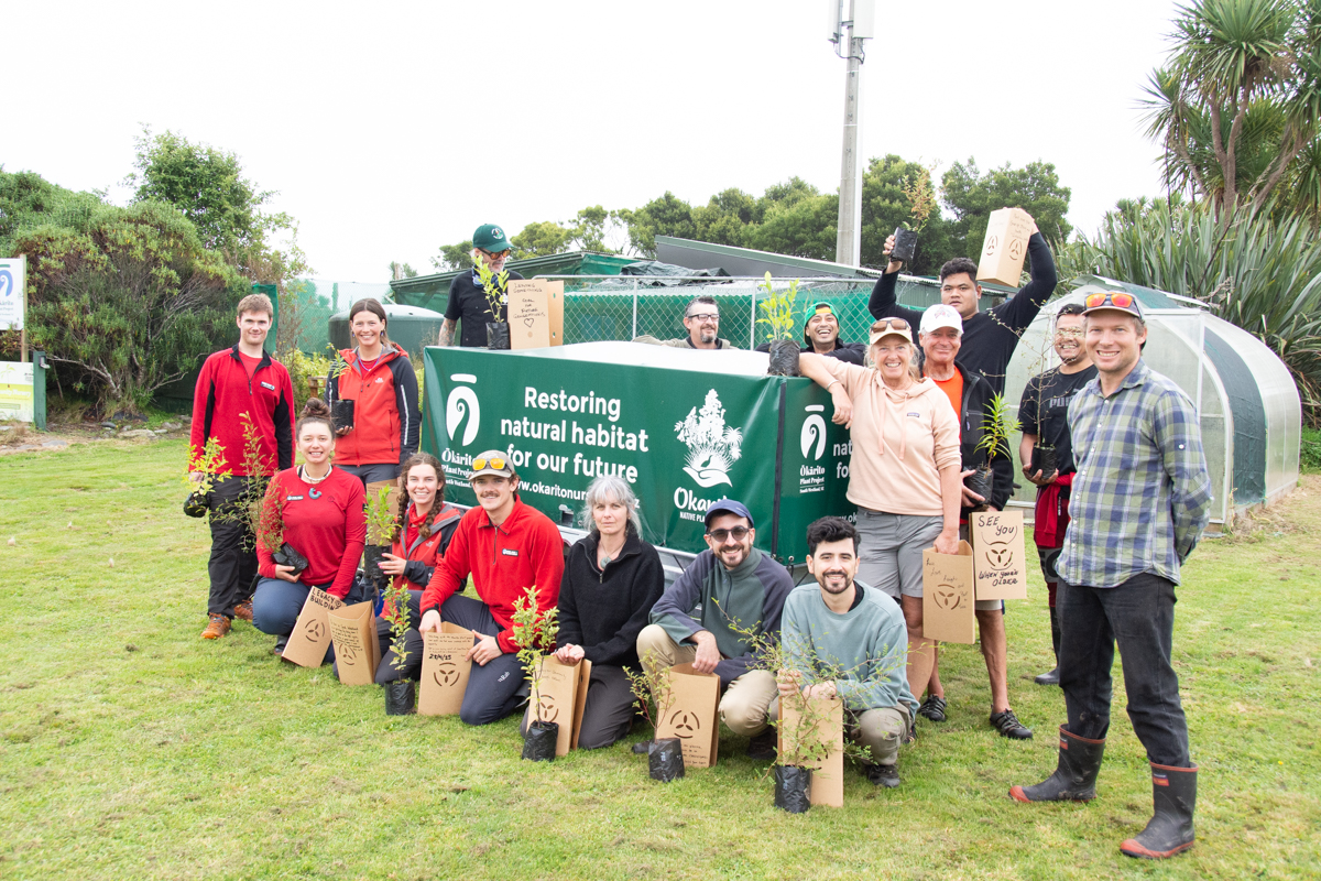
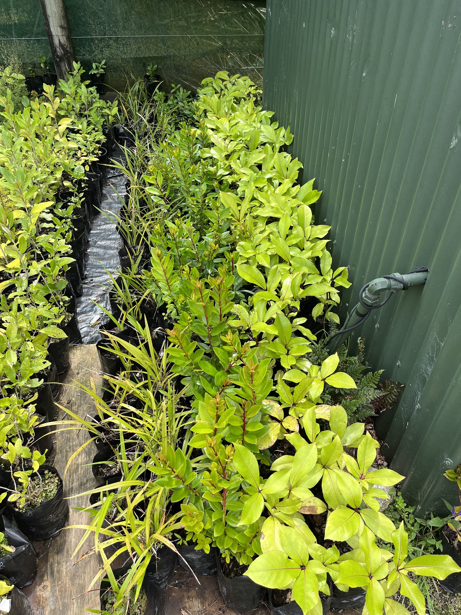
The Okarito Community Association nursery grows eco-sourced native seedlings for restoration, beautification, landscaping and in the process provides educational and volunteer opportunities. The nursery was initially formed in conjunction with Department of Conservation and Air New Zealand Environment Trust to restore Lake Wahapo’s ancient kahikatea swamp land and in turn protect all the ecosystems from the glaciers to the sea.
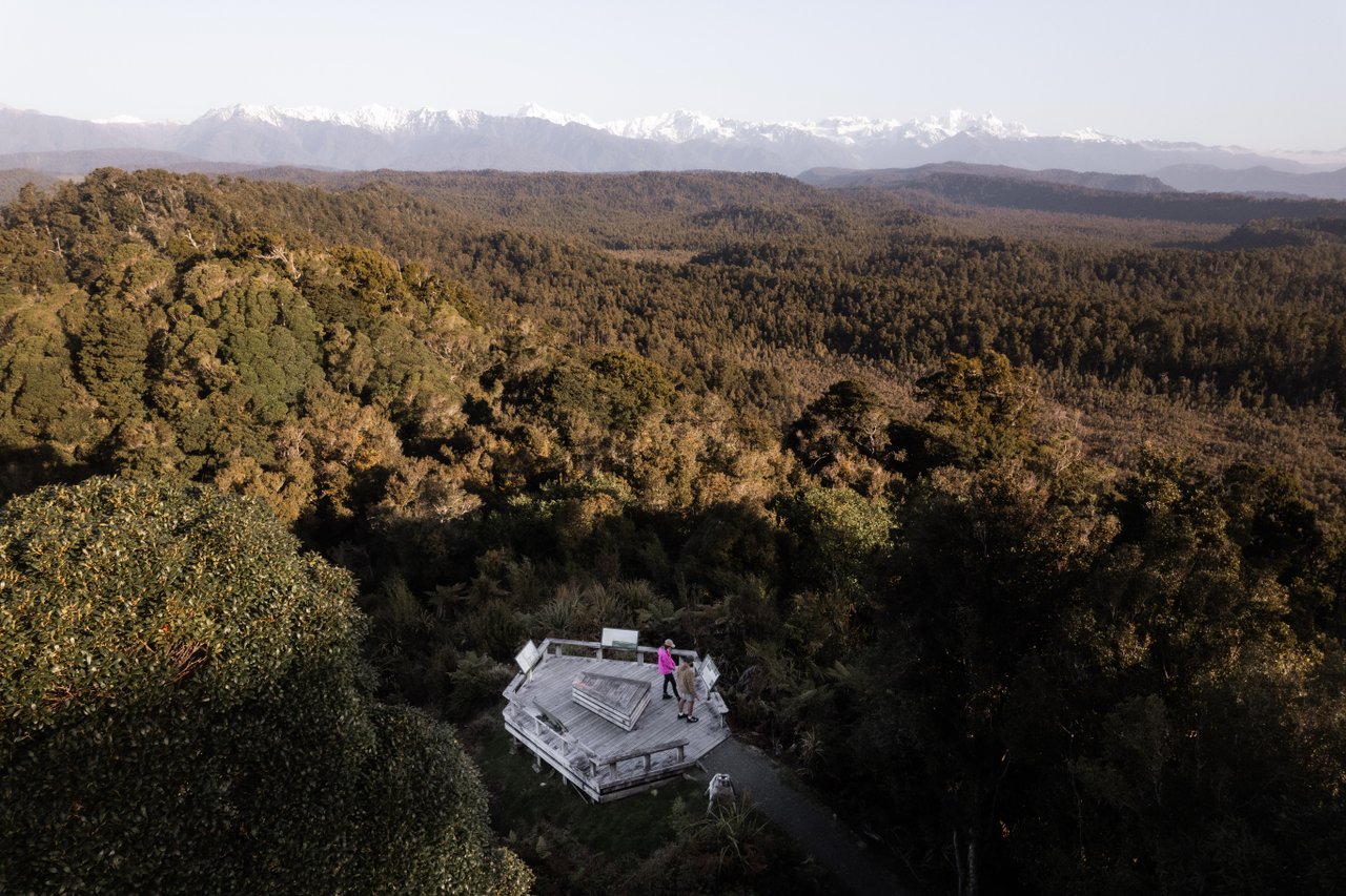
Climb up to the Ōkārito Trig (158m) for expansive views – Tasman Sea to the Southern Alps. On a clear day this is the very best view of the peaks and lagoon that you can get from the ground.
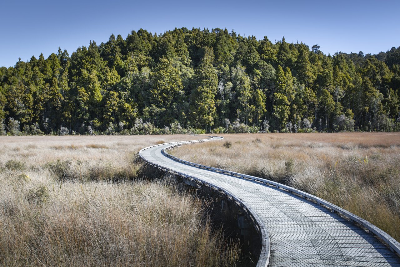
The walk way continues along the historic Three Mile Pack Track where you will see kamahi, kahikatea and rimu forest;
You can return via the same route or if it’s low tide your can return via the beach.
26 min (30.9 km) north of Franz.

Whataroa is the next small rural township located 31km north of Franz Josef, (about a 30 minute drive)
Whataroa is home to the only New Zealand breeding colony of kōtuku (white herons) located on the banks of the Waitangiroto River.
The Herons arrive about September each year and, after breeding, leave around January.
The Whataroa River is one of the best one-day whitewater experiences in New Zealand.
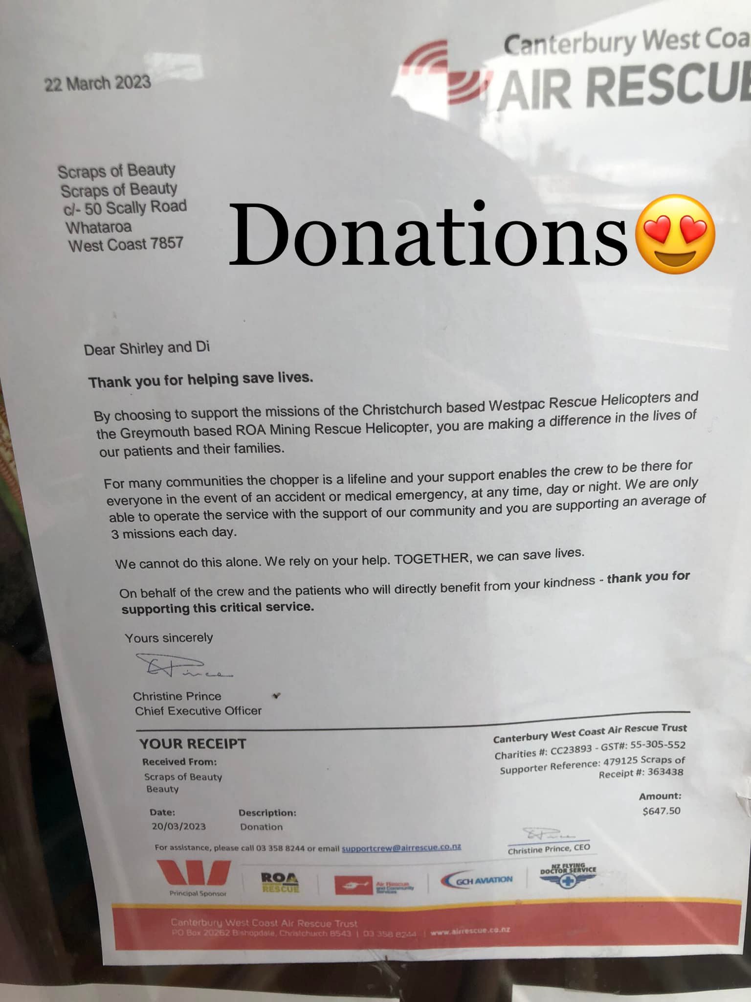
Scraps of Beauty is a Craft and Pre loved outlet for the area. It’s a true community initiative to raise funds for local courses and the Canterbury / West Coast Air rescue.
You will find:
Check out their facebook page or stop by
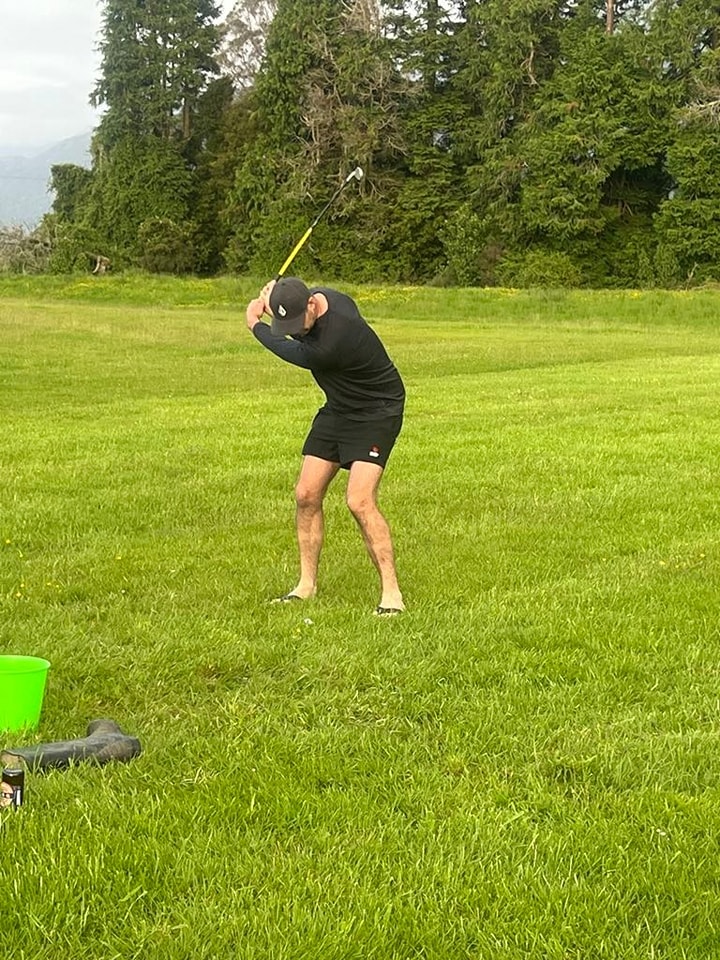
Rural Golfing at its finest!
Open 364 days (closed A&P show day)
Green Fees (casual game) $10
Hire Clubs are available at the Lonely Stag Cafe & Store for $20 (limited LH clubs available) Hire includes a bag, trundler, balls, tees and clubs.
Annual Full Membership $150
This membership gives you access to all West Coast Clubs and NZ Golfs Handicap register.
Annual Local Social Membership $100
Play as many games as you like at your local club!
TWILIGHT GOLF – Match fee $5
Any golfers are welcome to join in for Fridays twilight social Ambrose golf. Played during summer daylight savings hours (Oct to April). 6pm sharp.
Bring the kids if they are keen to have a shot or three!
Ambrose Tournament
Open to players with a handicap. Held in March.
Fun Farmers Tournament
Matariki Day – Teams of 3. Non golfers welcome!
Keep an eye out on the community FB page for their trailers of firewood for sale and annual farmers tournament.
Located behind the shop / cafe
70 Main Road, Whataroa,
New Zealand
Their primary business is to ensure the farming community have rural supplies but they are also stock a good range of pet food, potting mix, garden seeds, wet weather gear, including gumboots! They are down dropping items off in person to Franz residents each week.
027 589 1429
[email protected]
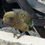
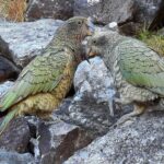
Named by Māori for the sound of its call, the Kea (Nestor notabilis) is endemic to the Southern Alps of New Zealand. These sociable and highly intelligent birds are well adapted to their harsh environment. Although they usually live up in the mountains we often have a group (circus of Kea) visiting the village.
Kea belong in the the mountains, where they are safe. They sometimes hang out in the village mostly looking for easy food and entertainment.
Please don’t feed the Kea. If you find Kea are getting into your bins, please secure the bin lid better / move the bins! If you see visitors in town feeding the Kea do stop to say hi and explain why we don’t feed the Kea.
Below are some of the Kea that visit Franz Josef. Our local Kea all have bands and their details are available to view in the Kea Data Base. If you see them about do pop on line and record where you did see them.
Many of the rivers in the area support trout populations which fluctuate depending on the time of year. The usual pattern is for the lower reaches of the major rivers to carry more fish in spring and early summer, after which trout move upstream to occupy mid-headwater habitats.
Smaller streams generally fish best in early season before water temperatures increase and trout become active for shorter periods.
Evening fishing is usually best in mid to late summer when insect hatches peak.
Sea Run Salmon turn up in the regions lakes and rivers from January with numbers peaking in March.
River fishing and trolling in South Westland lakes (Mapourika and Paringa) is popular.
The Waitangitaona River (Whataroa Flats) is a spring fed river that provides top quality dry fly and nymph fishing in its clear waters.
Fish are generally of a good size and easily spotted in the crystal clear water (but hard to catch).
We are in the West Coast region for Fish and Game.
A variety of Fishing Licences can be purchased on line or at Glacier Motors. Children under 12 are eligible for a Free Junior Licence. There are Local, Adult, Family, Loyal Senior and Junior licences available.
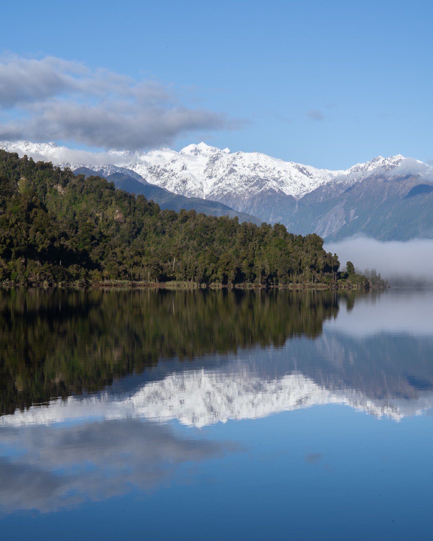
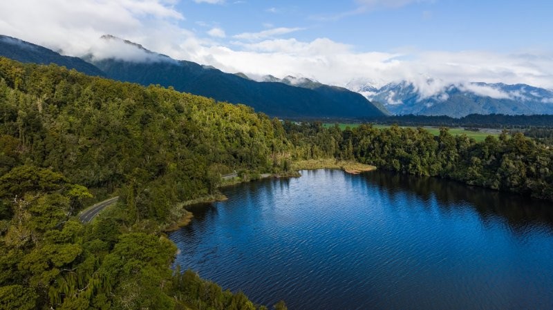
Lake Mapourika is the largest lake in the national park. It has five in-flowing streams that have been identified as suitable spawning habitat for Quinnat salmon. McDonalds Creek being the main spawning river. (McDonalds Creek is closed to fishing)
A good spot to have a cast is around the mouth of McDonalds / the outlet.
Lake Wahapo is easily fished from the south shore. The lake is usually land locked, due to the Wahapo power station that draws from the lake, however brown trout and the occasional salmon can be caught. A gravel Boat ramp is available at the South East corner of the lake.
Lake Paringa is located 1 hr 21 min (93.7 km) south of Franz Josef. The waters are home to Brown trout and some Salmon. To fish it properly you need a boat and quality sand-fly protection. There is a well equipped DOC camp site / picnic area at the far end of the lake.
Franz Josef Village is located within the Westland Tai Poutini National Park. A team of committed and skilled people, employed by the Department of Conservation, work together to maintain walks manage safety, and welcome visitors to the many walking tracks in the area.
The National Park Visitor Centre is open daily for advice and guidance on the walks that are available to you. Stop by and check
Day Tramps
Before you set off on any of our local day tracks, please make sure you have the right equipment, food & water, have checked the local weather forecast for the next few days and have let others know where you are going and when you are expecting to be back!
Unfortunately, people new to our challenging environment and rapidly changing weather and stream and/or river levels can get caught out quickly with serious consequences!
We cannot stress enough for you to check the following websites out to ensure you are well prepared:
Franz Josef/Westland Tai Poutini National Park Visitor Centre – Head over to the local Franz Josef Visitor Centre Page
Be prepared with the Land Safety Code: Know before you go – Follow the five easy steps of the Land Safety Code to stay safe when you’re outdoors.
Find your local DOC Isite – Find any Isite anywhere in NZ
Plan my walk – this is an amazing app we advise everyone heading out on a day or multiple day tramp to download!
Weather forecasts – Check the weather on any location in NZ
Mountain Safety – Get ready for the outdoors
Adventure Smart Facebook Page – AdventureSmart provides tips, links and advice for you to plan and prepare any activity safely.
What 3 Words app – This app tells the user their exact location within 3 metres.
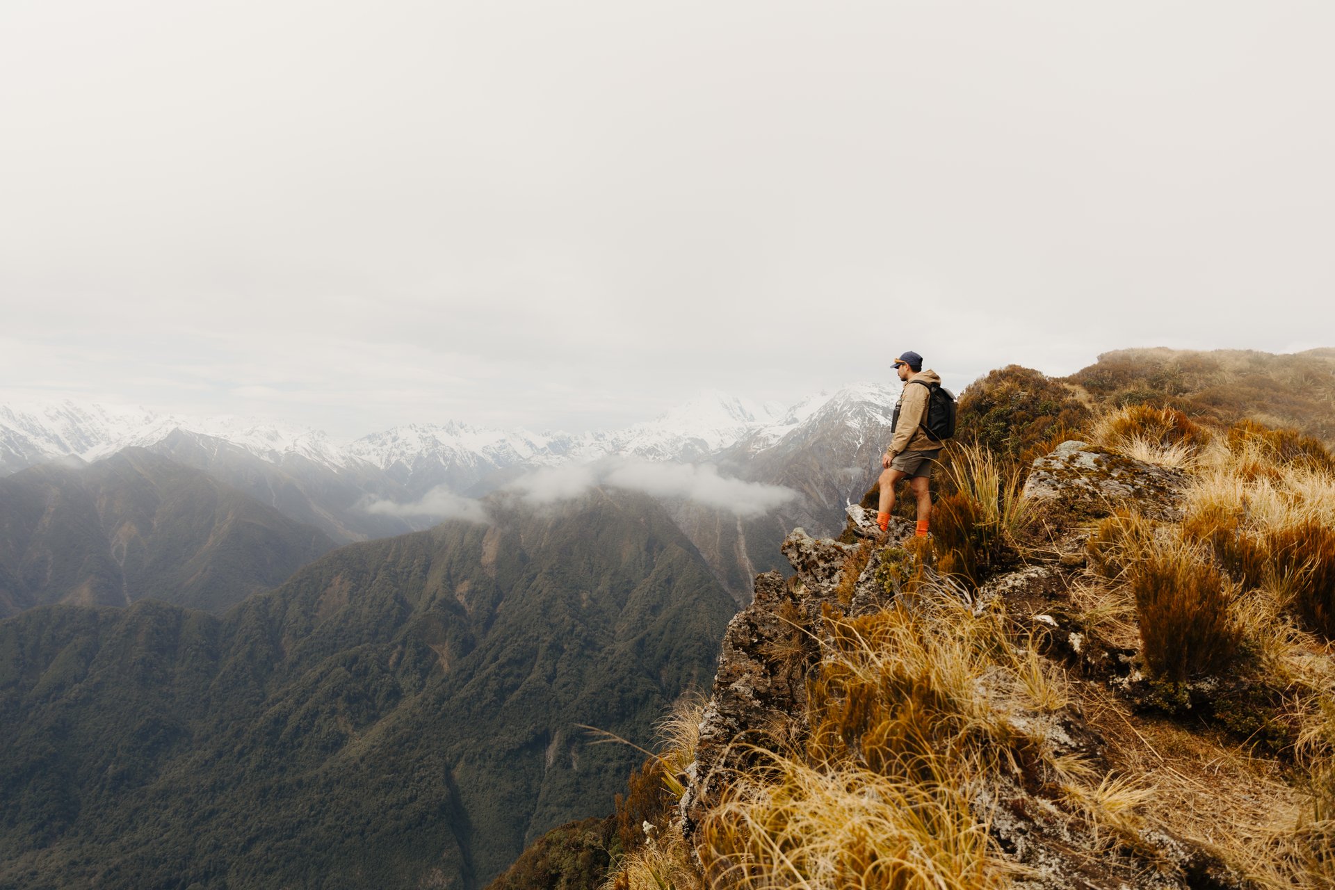
These 2 local FJ tracks are for the experienced hiker who has planned their day.
A high level of fitness is required for both tramps. For both tracks you return on the same marked path.
Please never hesitate to pop into 1 of our DOC Visitor Centres, where their friendly experienced staff will be more than happy to assist you. At the end of the day, we all want to you have the best possible experience when exploring our country and to return safe to share your stories:
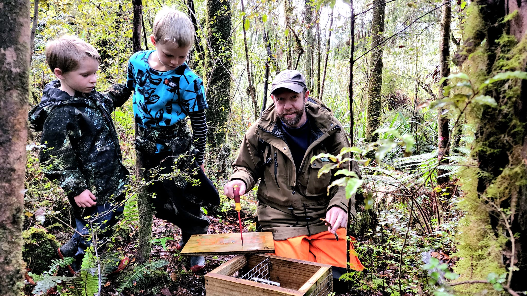
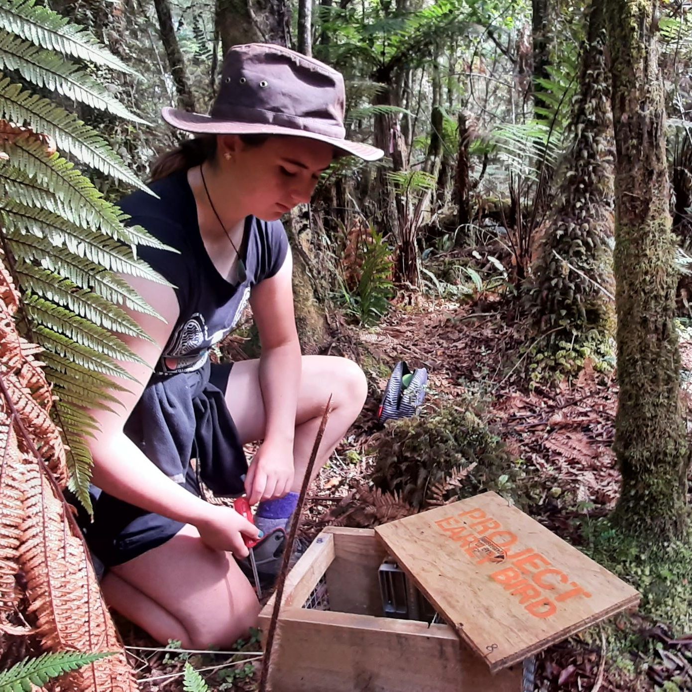
In 2018, concerned with the lack of birdsong at our beloved Lake Matheson, Tash & Cliff Goodwin started a community trapping project, in conjunction with the Department of Conservation (DOC), to combat predators and protect our birds and invertebrates, including endangered fernbirds and recently released Rowi kiwi, working towards DOC’s Predator Free 2050 goal of sustainability in New Zealand and also bringing back the birdlife for our Early Bird Tour and evening guided tours at Lake Matheson.
They now have 139 x DOC 200 traps in that cover an area of 174 ha in Lake Matherson Area.
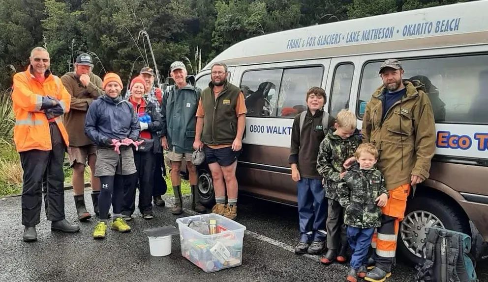
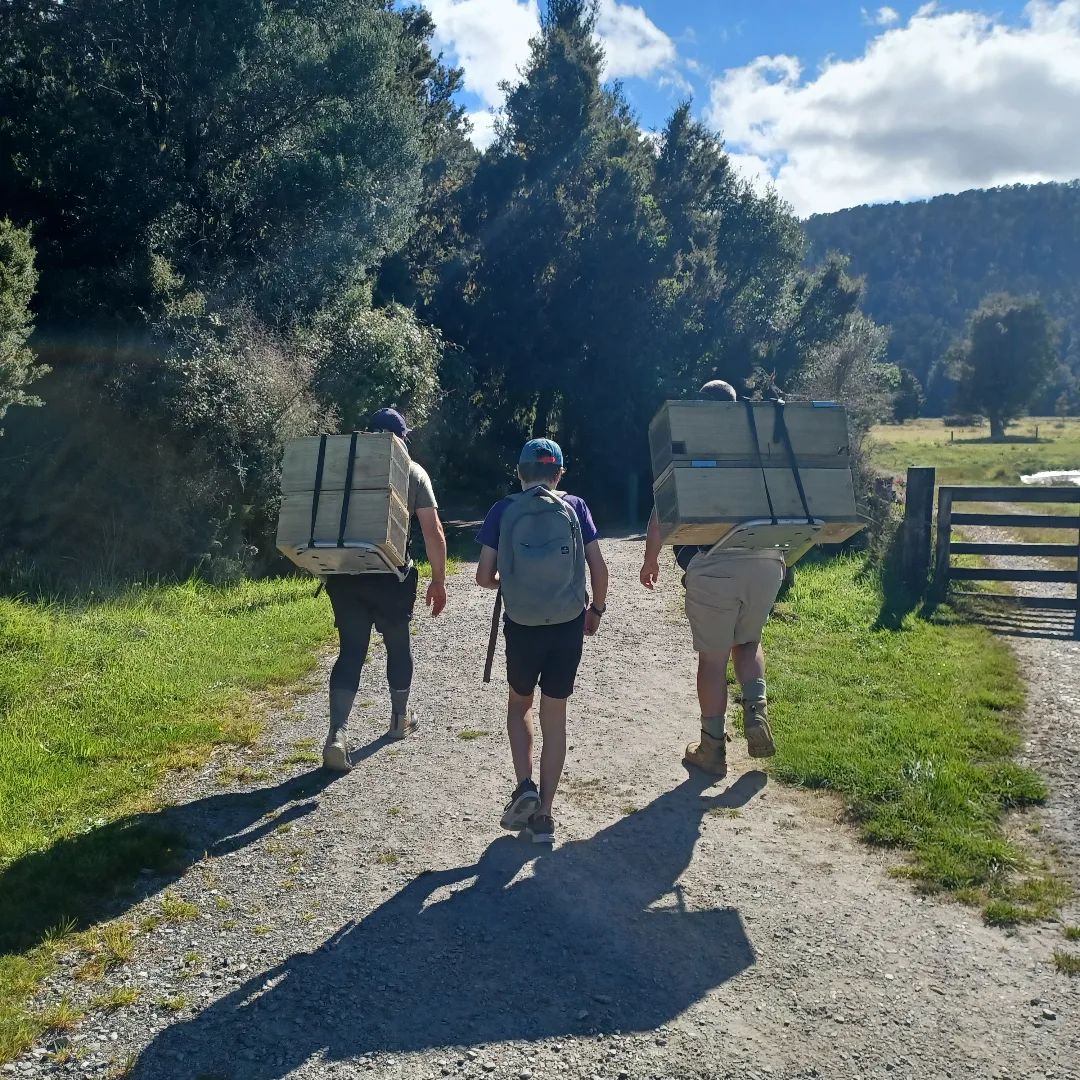
Drop Tash a line / keep an eye out on The Franz Josef Collective for the trapping days. It takes about 3 hrs for 8-10 volunteers to check the traps, which involves lots of off track bush exploring.
A huge thanks to the Project EarlyBird sponsors and supporters: Lake Matheson Cafe, who look after us with their tasty treats after our trapping days; Pics Peanut Butter for their peanut lures; West Coast Print for our signage and the Department of Conservation.